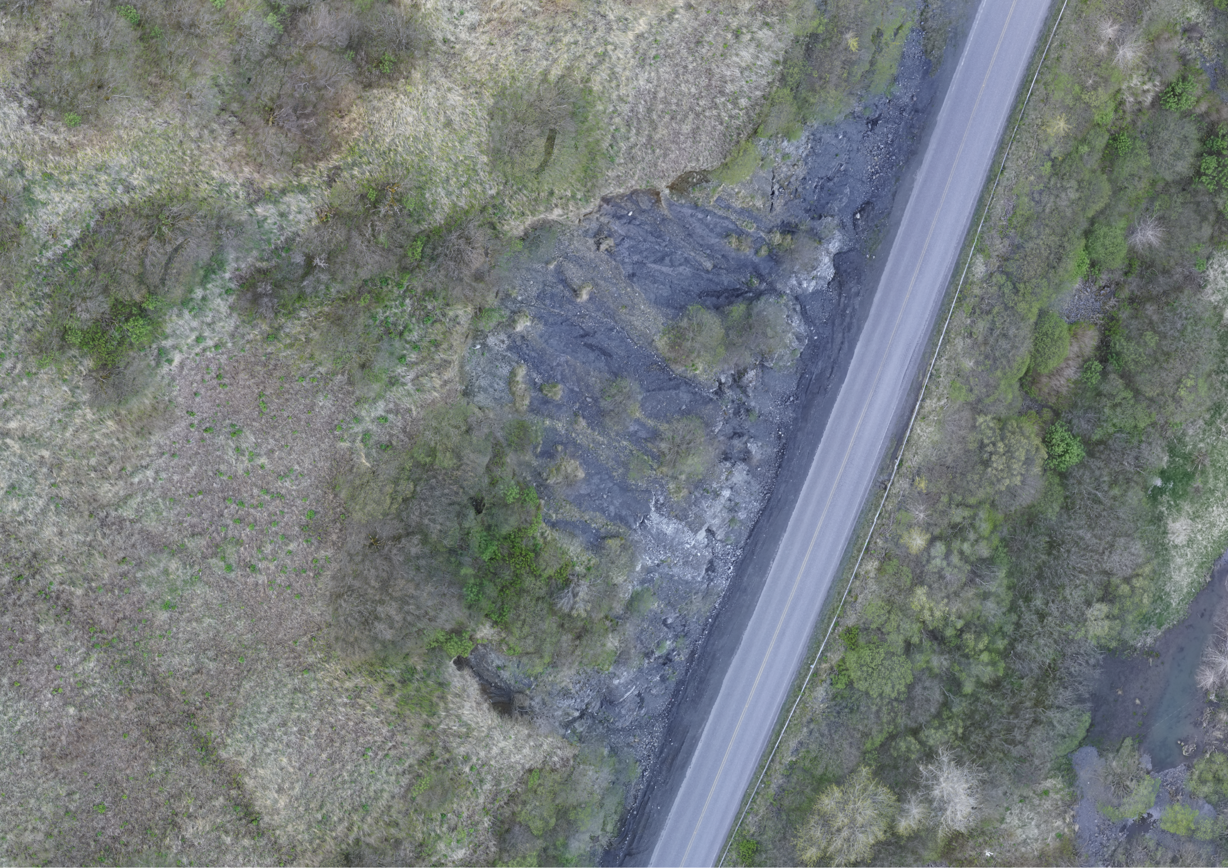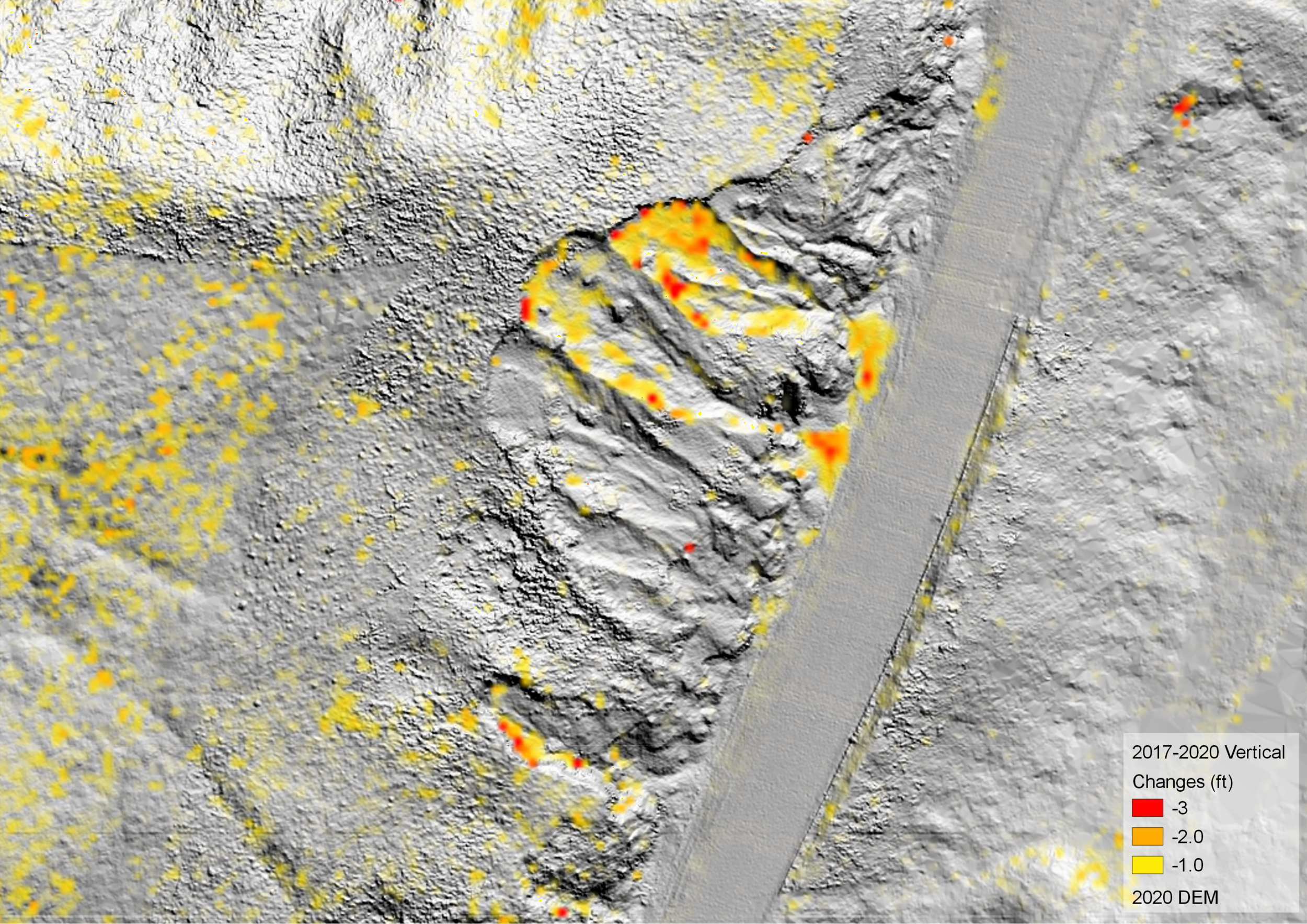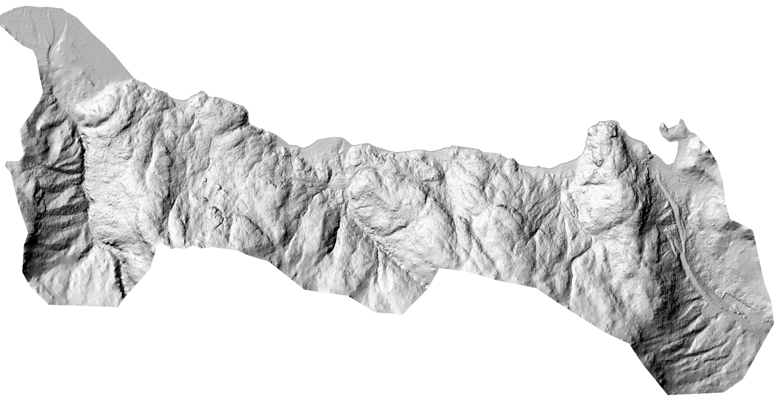

LANDSLIDE MONITORING
High density point cloud, 3D mesh and temporal observations for geotechnical engineering and mitigation of slope hazards.
CONSTRUCTION
Detailed accounting by monitoring, tracking and measuring changes across entire construction project during active phases.
High resolution orthoimagery on local coordinate grid to map high tension cables prior to pouring slab.
MINING & EXCAVATION
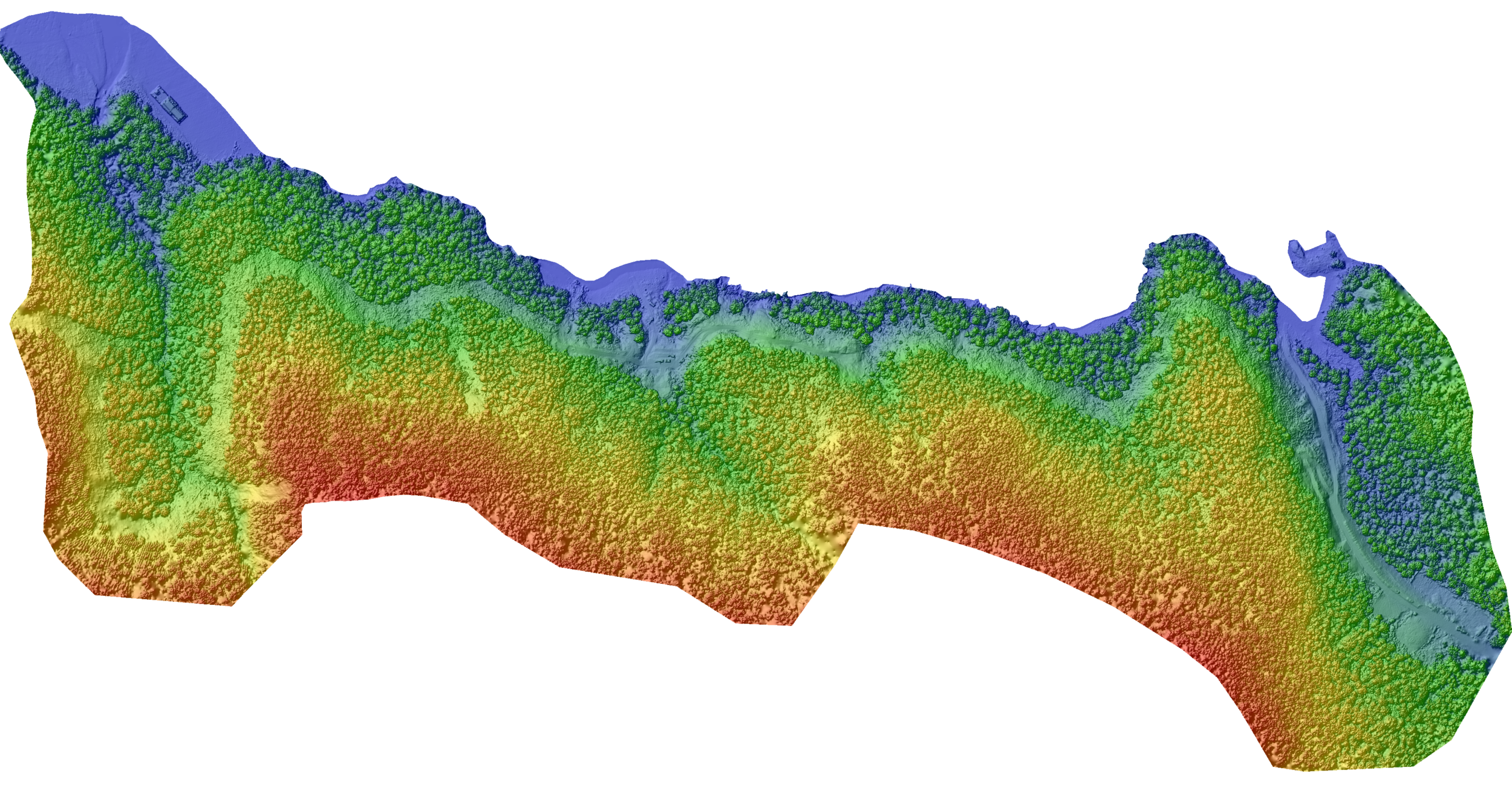
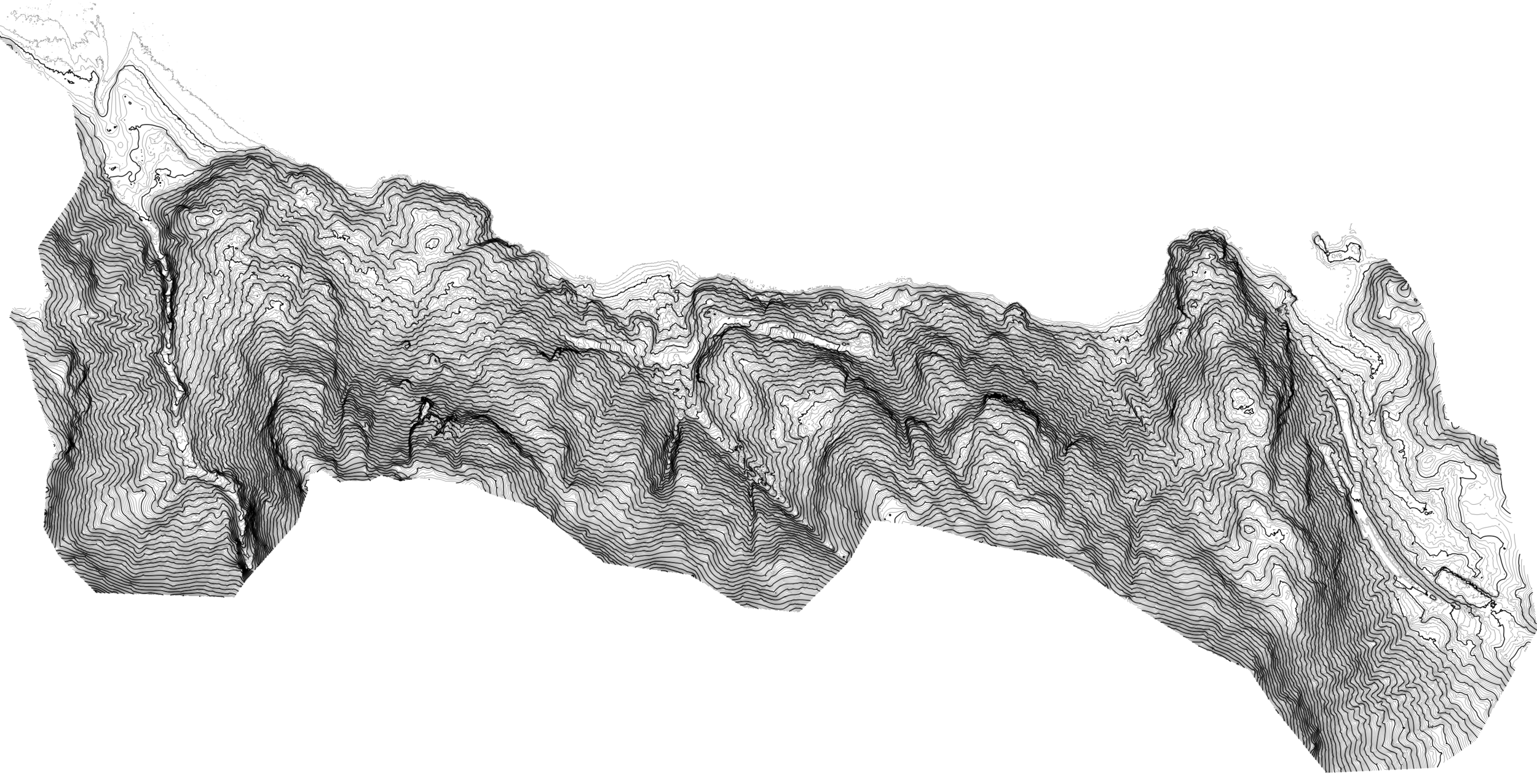
Digital Elevation Model (DEM) with cm scale accuracy
Volumetric analysis
MSHA Certified Pilots
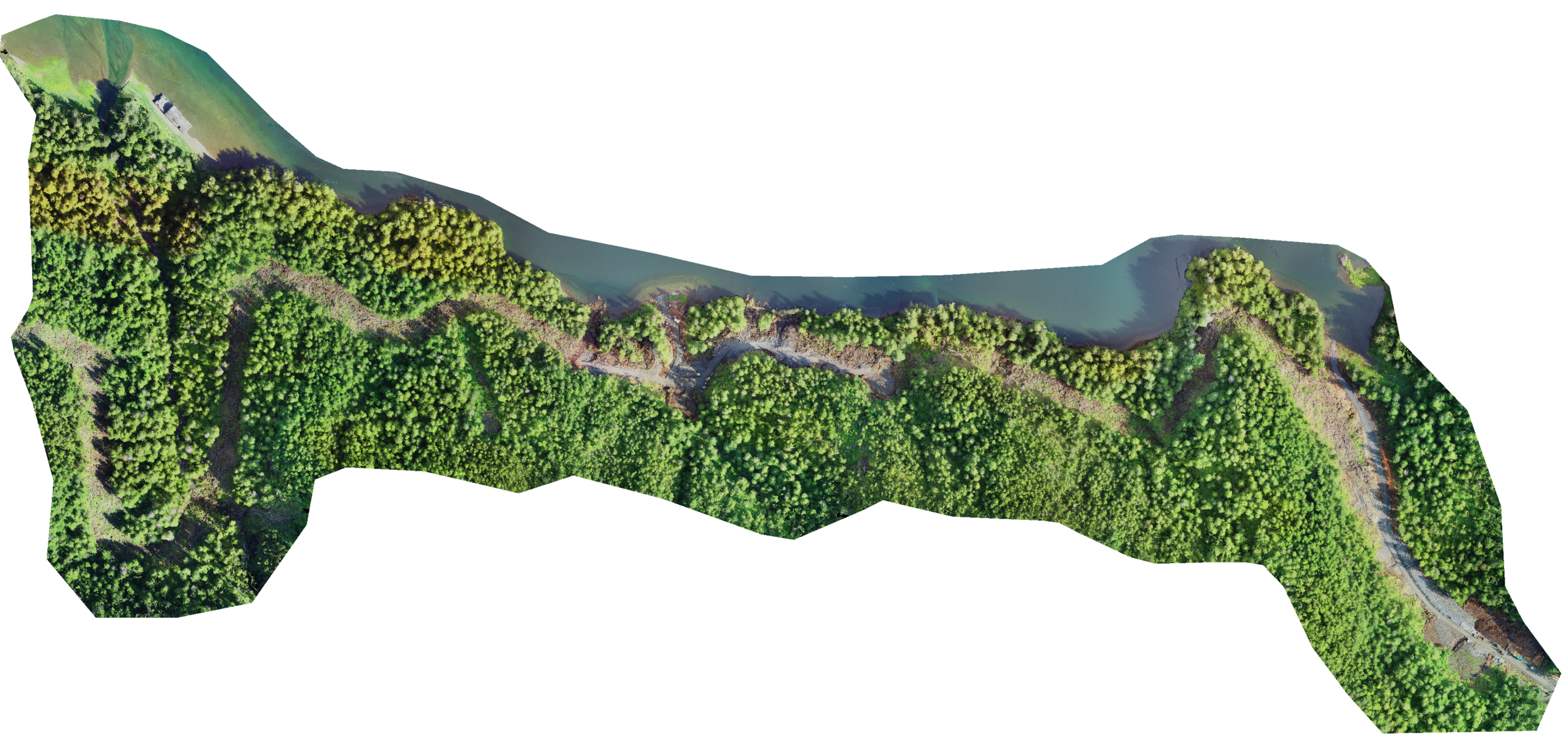
TOPOGRAPHICAL MAPPING & 3D MODELING
Detailed project progression and inspection
Rock wall modeling
Determine joint and fracture orientation from high density point cloud and 3D mesh
UAS - LiDAR
Project specific LiDAR acquisition services to generate bare-earth terrain models.
THERMAL IMAGING
Measure and detect processes using thermal infrared
groundwater seeps, mixing zones, ∆T